Description
Please see our FAQ page for information regarding download options and compatible GPS units.
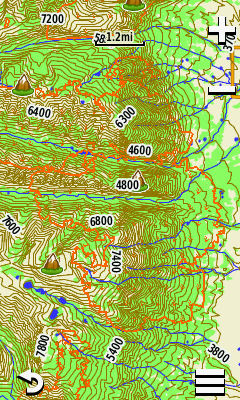
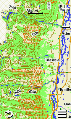
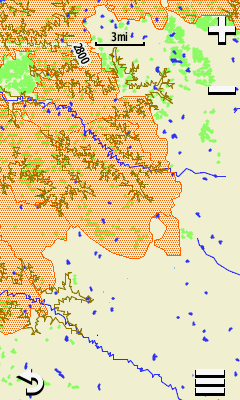
MT Topo + Forest Cover is a highly detailed, 24k scale topographic map of Montana with the following features:
- 24k USGS topographic lines
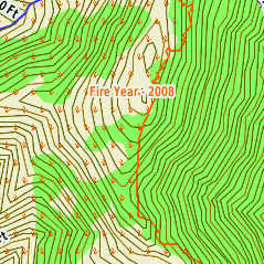
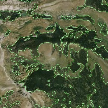
- Forest Cover data from USGS Woodland dataset (green area on USGS 24K topo quads) (UPDATED 2023)
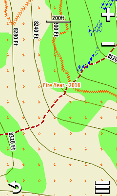
- 20 years of Fire Perimeter Polygon data from (2003-2022) (UPDATED 2023)
- Lake, stream, wetland, and springs data derived from the Hi-Res National Hydrography Dataset (NHD). Some river data from the National Wetland Inventory (NWI).
- Roads and trails data utilizing the most inclusive and detailed data available from the US Forest Service, Tiger Roads Data, and the Montana Transportation Framework (PARTIAL UPDATE 2023)
- National Wetland Inventory (NWI) enhanced wetland areas (where available)
- Over 65,000 points of interest including trailheads, campgrounds, summits (with elevation), gulches, mines, airports, and river miles for the Missouri (Ft Benton to Kipp) and Smith River (Camp Baker to Eden Bridge), and much more.
- Includes all of Yellowstone National Park!
- Over 700,000 building footprints statewide.
- Road and Trail edits and updates in select areas. (Updated various trail systems in Montana 2023)
- Updated lake and wetland polygons in select areas.
- Enhanced color rendering of features and labels in both Day and Night modes
This mapset can be purchased separately or can be bundled with other maps in our Hunting & Fishing Combo map package.
