
Welcome to GPSmapsMontana.com’s free online hunt planner! Our philosophy here at GPSmapsMontana is that everyone should have access to publicly available data to help them plan the next hiking, hunting, or camping adventure. Introducing our Desktop and Mobile Hunt Planner! Now you can have land ownership, aerial photography, USGS Topos, and hunting districts just a mouse-click or tap away. Don’t forget to load up a Garmin GPS with our premium mapping products before you finally head out and hit the wide-open. Trusting a cell-phone to navigate in Big Sky Country? We didn’t think so!
DISCLAIMER: This map, including all data and boundary representations, is for reference only and should not be used to identify legal boundaries. GPSmapsMontana.com is not responsible for any damages incurred through the use of this or any map.
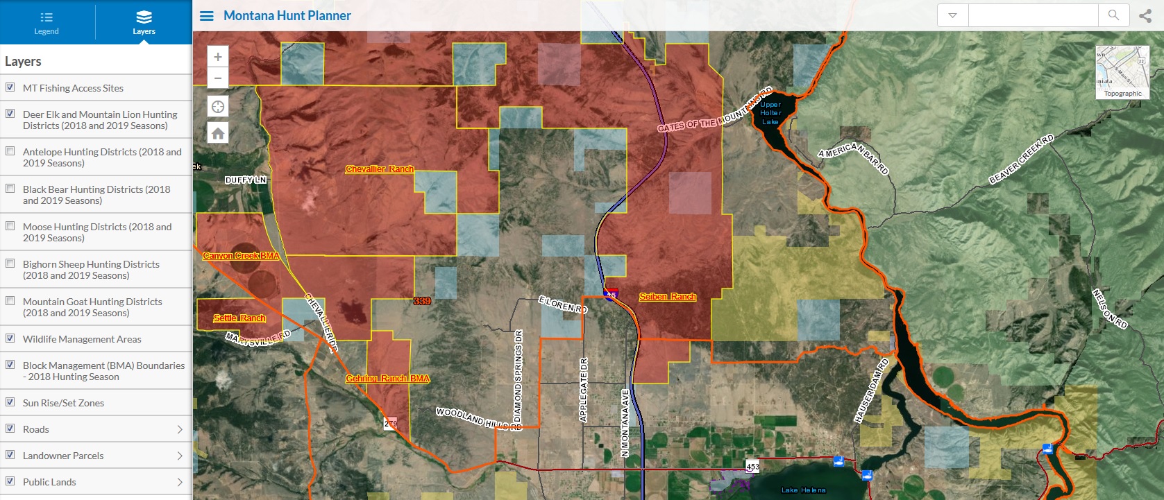
Tips: Click inside any district for a pop-up with links to the district map and description page. Switch basemaps to view aerial imagery or topographic maps. Compatible with both PC, MAC, and mobile devices.
Map link: FREE HUNT PLANNER